
Photos by Jack A. Waldron

By the time I reached ancient Elaiussa Sebaste (36°28'59.6"N 34°10'25.4"E), I had already been looking for a nice place to camp, and for over 10 kilometers I saw nothing. However, across the road from the ancient Theater was a crowded noisy dusty picnic and camping area, which was my last choice to spend the night, but it was on the beach. The ancient North Harbor of the city is the large green patch pictured just the other side of the road, and you can see the Elaiussa Sebaste peninsula rising in the distance, and protecting the harbor from the sea beyond.

The city plan below shows the Theater in the upper left corner. The North Harbor, which is now completely filled in with soil, is at the top middle of the plan, and my camp site was on the beach, or South Harbor, which is at the bottom of the plan. The two harbors are separated by an isthmus that connects the mainland to the large peninsula covering the right side of the plan.

The Theater at Elaiussa Sebaste was built during the 2C AD, probably during the rule of Emperor Marcus Aurelius and/or Lucius Venus. There are 23 rows of seating, and a capacity of approximately 2,300. Most of the seating is cut from the rock face of the hill, with the wings being built up with stone.

The area directly surrounding the back of the theater is called the Residential Complex, and I did try access the site, but it is fenced off, and the land between the theater and the Necropolis Road is privately owned, or at least, you have to pass through private land in order to get to it. There isn't much to see from the back of the theater, but I did eventually make my way to the Necropolis Road.

The name of the original city comes from Ancient Greek, meaning 'oil', and 'Elaiussa' meaning 'many olive trees'. The city was originally founded during the 2C BCE, on the island, which is now the Peninsula of Elaiussa Sebaste.

Pictured below, we get a full view of the Roman Agora, a Byzantine Church Complex within the Agora, and the Public Building, all of which are located immediately below the theater. The sea and second harbor can be seen in the top left of the same photo, as well as the large hillside area above the shops in the right of the photo, where many ancient buildings can be seen within the overgrowth.

In the 1C BCE, the city came under the control of Tarcondimotus Philantoniusan, a Roman Cilician client king, who died in 31 BCE. In 20 BCE, the Emperor Augustus gave the city to Archelaus I of Cappadocia. By 39 AD, the city came under the control of Antiochus I and his wife Iotape. On coins minted under Archelaus I, he is a self described builder, and even today, one can see that construction within the site was huge.

It's not clear if there was always an isthmus connecting the mainland to the island, but eventually, the mainland underwent massive development as ordered by Archelaus I, who named the new city Sebaste.

The name 'Sebaste' is the Greek equivalent to 'Augustus', and so, the new city was clearly dedicated to its main benefactor, the Emperor Augustus. Thus, we get a city with two names, Elaiussa Sebaste.

The complex pictured above, which includes all of the aforementioned structures, probably saw its first construction during the Imperial Roman Period. At the entrance to the Agora on either side of the eastern wall of the Public Building, once stood two monumental fountains that are reported to have been built in the shape of lions. The very tall arched structure in the photo is actually an aqueduct that fed the monumental fountains, and is a section of a whole series of aqueducts between the Lamus River and ancient Corycus, that I will be writing about in a future post. As mentioned, the water was sourced from the ancient Lamus River (modern Limonlu River), which enters the Mediterranean about ten kilometers to the northeast. The western wall of the Public Building still stands, and can be seen at the right of the photo above.


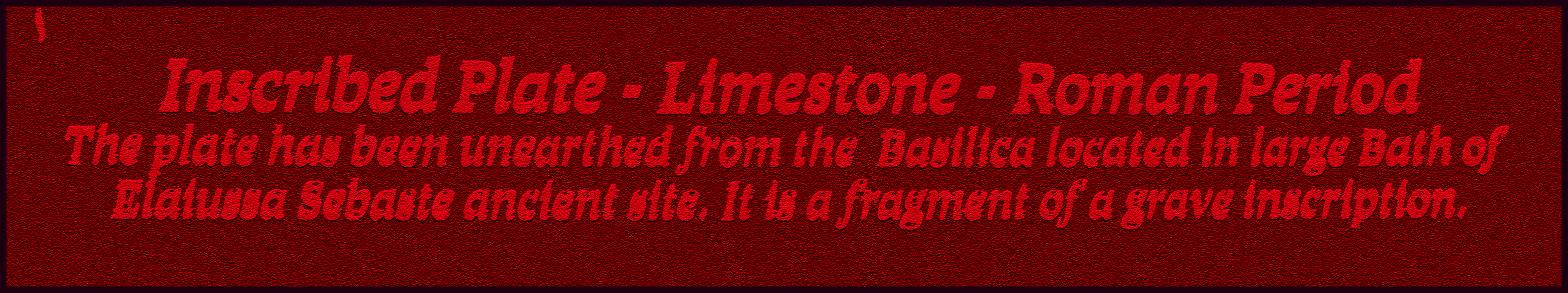
These two grave inscriptions were found within the Basilica, and are dated to the Roman period (Mersin Archeological Museum).

At the center of the Agora is a later built Byzantine Church with mosaics from the period. The entire space was once within the walls of the Public Building. There are also remnants of a defensive wall.

Pictured above, this is a photo of a section of entablature from a Roman building that was sitting in a small field just opposite the Agora. Once Cilicia was liberated from the scourge of piracy by Roman Emperor Vespasian in 74 AD, trade routes made Elaiussa Sebaste a main hub for the transport of goods throughout the Eastern Mediterranean.

After examining the Theater, a section of the Necropolis (pictured above and below), the Agora Public Building Complex, and the North Harbor area, I road over to the beach to set up my tent, though I was a bit shy, because the whole area was crowed with families. I wanted to search for the Roman Temple, but non of the shop keepers knew where it was, so I lost my motivation to search for it. After the picnic camp emptied out a bit, I set up my tent and drank some beers.

A nice family sent their little girl over to my tent with a plate full of food, so I went and spent some time with them, eating, chatting, drinking, nice. As you can see in these photos, the road located above and behind the theater is lined with sarcophagi, but I missed a section of the Necropolis that is located further up the road to the northeast.

The next morning I passed on trying to find the Roman Temple, but, I did return to ancient Elaiussa Sebaste several years later, and was able to locate and photograph it, which I will write about in a future post.

Someday, I must also investigate a larger portion of the ancient city that is spread over the entire rise of land behind and above the shops opposite the beach. This area is not mapped for visitors, and is largely owned by locals, but there are many hidden buildings that barely show themselves above the overgrowth on the hillside.

As mentioned, I also missed a large section of the Necropolis, where there is a group of large well preserved Mausoleums. It was just one of those days. If you would like to continue reading about Elaiussa Sebaste, be sure to read Part 2, which looks at the North Harbor and the Elaiussa peninsula, and Part 3, which focuses on the Roman Temple of Elaiussa Sebaste.

*All photos and content property of Jack A. Waldron (photos may not be used without written permission)
**Please support my work and future postings through PATREON:
Or, make a Donation through PayPal:

No comments:
Post a Comment
Note: Only a member of this blog may post a comment.